About this project
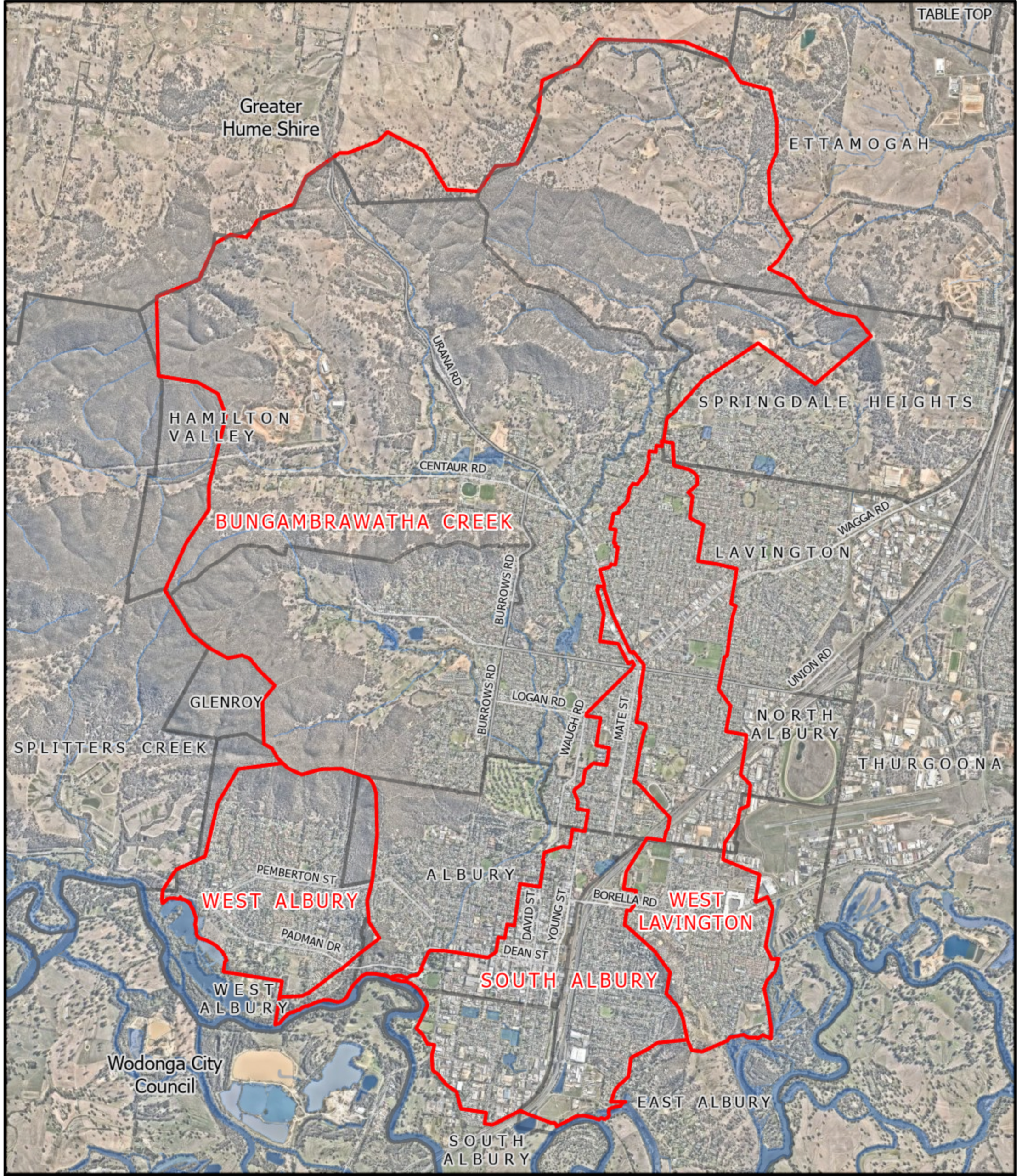
Bungambrawatha Creek flows through the city of Albury, from the headwater streams in the Black Range, through to the AlburyCity CBD where it enters the Murray River. The Bungambrawatha Creek catchment drains the area to the north of Albury including the western portion of the CBD. Major tributaries of Bungambrawatha Creek include Hamilton Valley Creek, Little Black Springs and Black Springs Creeks.
The Wiradjuri people are the First Nations people that occupied the Albury-Wodonga area for millennia. The name Bungambrawatha is thought to come from Aboriginal etymology meaning Bun meaning creek that runs only during winter and spring; bra meaning white and watha meaning hearing (Spennemann, 2015).
At the time of European settlement, the early settlers would have found Bungambrawatha Creek to be a highly sinuous stream. It flowed through the present-day CBD and the Albury sporting reserve, where it became much like a delta of a series of smaller channels at the junction with the Murray River. The waterway was progressively channelised commencing in the 1860s. As the town grew, it was shifted to the west of its original position and straightened into a highly efficient concrete channel. (Wooding, Undated)
The flood study review is an action from the Bungambrawatha Creek Line Assessment undertaken in 2023. It will define existing flood behaviour in the suburbs of Hamilton Valley, Glenroy, Springdale Heights, Lavington, North Albury, Albury, West Albury and South Albury.
It will consider:
- Current data models, and predictions against observed flood events and historical data;
- Determine the potential flood risks; provide recommendations for improvements or enhancements to flood mitigation measures, floodplain management strategies, and emergency response plans; and,
- Assess the viability of the design options set out in the Bungambrawatha Creek Line Assessment for the naturalisation of sections of the creek system.
The study will adhere to relevant regulatory and policy requirements aligning to the NSW Floodrisk Manual.